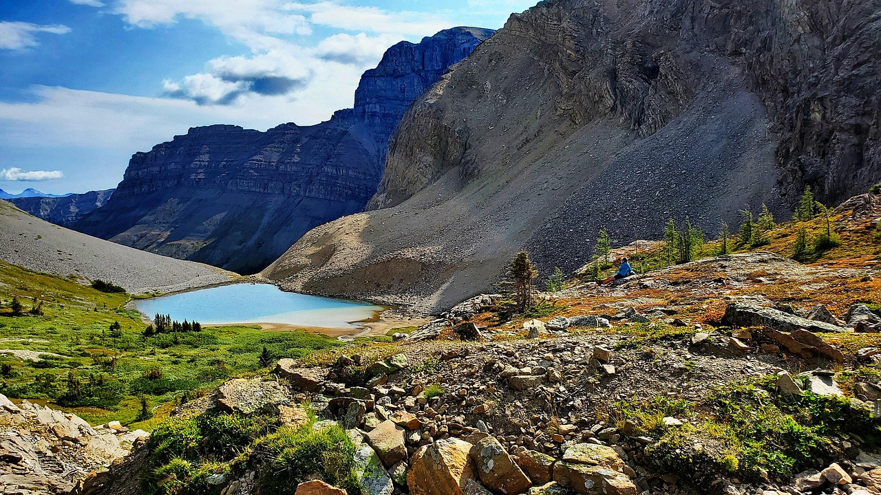
You’re moving along a trail that felt obvious an hour ago, and now the path has dissolved into a confusion of rocks and brush. The last cairn was further back than you remember. Even experienced hikers hit this moment — disorientation can arrive gradually, and by the time you notice it, you’ve already walked past the point where the trail made sense.
The very first thing to do is stop moving. Not slow down. Stop. Every step you take when you’re uncertain of your position makes the search area larger and your situation harder to resolve. The moment you feel genuinely lost, your job changes from hiking to staying found.
Canada’s national parks cover approximately 343,377 square kilometres across 37 national parks and 11 national park reserves, spread through every province and territory — mountains, tundra, boreal forest, glaciers. The terrain is extraordinary and the distances are genuinely large. What looks like a short detour on a map can put you in a very different landscape within minutes. That context matters, because the wilderness in these parks is not forgiving of improvised decisions made while moving.
Before you head out on any backcountry trail, Parks Canada recommends verifying what services are available at your specific destination — rescue response times and communication options vary enormously between a busy park like Banff and a remote reserve like Aulavik, where response times can be one to two days or more depending on weather and aircraft availability. If you’re still in the planning stage and arriving from abroad, the Canada eTA airport and border procedures guide covers what to expect on arrival before you even reach the trailhead, and reviewing Canada eTA processing time helps ensure your authorization is ready well before departure.
Immediate Actions: The ‘STOP’ Method and Initial Assessment
The STOP method — Stop, Think, Observe, Plan — is the framework search-and-rescue professionals want you to use, and it works because it interrupts the instinct to keep moving and “fix” the problem by walking harder.
Stop. Sit down if you need to. Drink some water. The physical act of sitting breaks the momentum that leads people deeper into trouble.
Think. When did you last know exactly where you were? What landmarks did you pass? How long ago? Your brain has more information than panic lets you access. Give it a moment.
Observe. Look around without moving. Can you hear water, a road, other hikers? What is the light doing — which direction is the sun? Check your phone: do you have any signal at all, even one bar? Is your GPS app showing a cached map? Look at the terrain around you for anything that matches what you remember from the trail description.
Plan. Based on what you observed, decide on one of two options: stay put, or make a single deliberate movement toward a known landmark. In most cases, staying put is the right call. Search-and-rescue teams find people far more reliably when those people haven’t moved. If you told someone your itinerary before you left — and you should have — rescuers already know where to start looking.
One practical step before you move at all: note your GPS coordinates if your phone has any signal or a downloaded offline map. Even a rough coordinate gives rescuers a starting point.
Signaling for Help: Attracting Attention and Preparing for a Wait
Once you’ve decided to stay, your next job is to make yourself findable.
Try to call for help first. In many national parks, 911 is the correct number — Waterton Lakes National Park, for example, directs all emergencies to 911. Parks Canada operates a 24-hour emergency dispatch line at 1-780-852-3100, which is the number used for Auyuittuq, the Chilkoot Trail, and the remote Mealy Mountains reserve, and it is compatible with satellite phones. Banff has a separate non-urgent dispatch at 1-403-762-1470, available around the clock. Know before you go which number applies to your park.
If you have no cell signal, this is exactly the situation a personal locator beacon (PLB) or satellite communicator — such as a Garmin inReach — is designed for. Aulavik National Park, one of North America’s most isolated parks, actually requires paddling groups to carry a communication device and submit contact numbers before registration. That requirement tells you something about how seriously Parks Canada takes the communication gap in remote areas.
While you wait, make yourself visible and audible:
- Sound: Three blasts on a whistle is the universal distress signal. Repeat it at regular intervals. Your voice carries less far than you think, and you’ll exhaust yourself shouting.
- Visual: A brightly coloured rain jacket or pack cover laid flat on open ground is visible from the air. A signal mirror can be seen for kilometres in sunlight. If you have a fire and it’s safe to light one, smoke is visible from a long distance — but fire safety in a national park is a serious responsibility; only do this in a clear emergency.
- Stay in the open. If you’re in dense forest, try to move to a clearing, a ridge, or a lakeshore — anywhere a searcher in the air or on foot has a line of sight to you.
Prepare mentally for a wait. In remote parks, rescue response genuinely can take one to two days or more depending on weather and available aircraft. This is not a failure of the system — it is the reality of the terrain. Your survival priorities in the meantime are shelter and warmth.
FAQ
How can I prevent getting lost in the first place?
Parks Canada consistently emphasises preparation as the foundation of a safe visit. Download a detailed offline map of your specific park before you leave cell range, check trail conditions before you go (conditions in parks like Banff can change rapidly), and leave a detailed trip plan with someone reliable. Know the terrain type you’re entering — Canada’s national parks span mountains, tundra, boreal forest, and glaciers, and each has different navigation challenges.
What if I don’t have cell service?
Cell service is unreliable across most Canadian backcountry, and absent entirely in remote parks. A satellite communicator — the Garmin inReach is one example explicitly mentioned in Parks Canada requirements for some areas — works independently of cell networks and can send your location and a distress signal anywhere. A registered personal locator beacon (PLB) is a simpler, cheaper alternative. Carry one of these on any trip where you’re leaving established trails.
Should I try to find my way back to the trail?
Only if you are completely certain of the direction and it is a short, safe distance. If there is any doubt, stay put. Search-and-rescue teams are trained to find stationary targets; a moving person is exponentially harder to locate. The one exception is if staying put puts you in immediate danger — rising water, an unstable slope — in which case move to the nearest safe ground and stop again.
What gear should I always carry to prepare for getting lost?
The core items: a fully charged phone with an offline map downloaded, a satellite communicator or PLB, a whistle, a space blanket or emergency bivy, a lighter or waterproof matches, a headlamp, water and a filter or purification tablets, and enough food for an unplanned overnight. Some parks require specific equipment — Aulavik requires paddling groups to carry a communication device; others have their own requirements. Check your specific park’s guidelines before you go.
How long should I wait before assuming I need to signal for help?
The moment you realise you’re lost, you should already be preparing to signal — not as a last resort, but as a parallel action to staying put and assessing. Don’t wait until you’re cold, dark, and exhausted to activate a beacon or blow a whistle. Early signaling gives rescuers more time and you more options. If you have a satellite communicator, there is no reason to wait.
Shelter and Sustenance: Prioritizing Survival While Awaiting Rescue
Exposure kills faster than hunger or thirst. In Canadian national parks, weather can shift from warm and clear to cold and wet within an hour, particularly at elevation or in northern parks. Trail conditions in Banff, for instance, can change rapidly — and that’s a well-serviced park. If you’re planning a visit to that region, understanding spring in Banff and Lake Louise can help you anticipate what conditions to expect. In more remote terrain, the margin is smaller.
Build or find shelter before you need it. If you have a rain jacket, put it on now, not when you’re already cold. If you have an emergency bivy or space blanket, get it out. Use natural features — a rock overhang, a dense stand of trees, the lee side of a ridge — to reduce wind exposure. If you’re building a debris shelter, insulation from the ground matters as much as cover from above; lying directly on cold ground pulls heat from your body faster than rain does.
Conserve water, but drink if you have it. Dehydration impairs your thinking, which is the last thing you need. If you have a water filter or purification tablets and there’s a water source nearby, use it. Don’t ration water so aggressively that you become impaired.
Eat something small. Calories support body temperature regulation. Even a handful of trail mix helps.
Stay warm and dry as your primary goal. Everything else — navigation, signaling, planning — is easier when you’re not fighting hypothermia.
When Help Arrives: Cooperating with Rescuers and Post-Rescue Considerations
When rescuers reach you, follow their instructions without argument. They may ask you to move in a direction that seems counterintuitive, or to wait longer while they secure equipment. They have the full picture; you have a partial one.
Tell them clearly: what you ate and drank, how long you were out, whether you fell or injured yourself, and your last known position. Even if you feel fine, accept a medical assessment. Hypothermia and dehydration can mask their own symptoms, and a trained eye catches things you won’t notice about yourself.
After the rescue, Parks Canada encourages visitors to debrief what happened — not as a formality, but because understanding where the plan broke down is genuinely useful. Did you leave a trip plan with someone? Did you have the right gear? Was your map current? Trail conditions in national parks can change rapidly, and a post-incident review often reveals a single, fixable gap.
If you’re planning future backcountry trips, particularly to remote reserves, contact Parks Canada in advance to discuss your trip plan — this is a requirement for some parks and a strong recommendation for all of them. The Parks Canada App also functions as a pocket guide with navigation support and essential information for your specific destination, and downloading it with offline maps before you lose signal is worth doing at the trailhead.
Mistakes That Get People into Deeper Trouble
Continuing to walk after realising you’re lost. The instinct is to solve the problem by moving. The consequence is that you expand the search area, burn energy, and potentially move away from a trail or landmark that was close. Stop the moment you’re uncertain, not after another twenty minutes of hopeful walking.
Not leaving a trip plan. If no one knows your route, your expected return time, or which park you’re in, rescuers have no starting point. Parks Canada’s guidance on preparation is consistent across destinations: know your route and make sure someone else knows it too. A trip plan left with a friend or at a park visitor centre is the single most effective thing you can do before you start.
Assuming cell service exists because it worked at the trailhead. Signal drops fast once you’re in a valley, under a ridge, or in dense forest. The emergency numbers that matter — 911, 1-780-852-3100 — are useless if you can’t reach them. A satellite communicator is the only reliable option in remote parks, and some parks effectively require one.
Underestimating how long rescue takes. In accessible parks, help may arrive within hours. In remote parks like Aulavik, response time depends on weather and aircraft availability and can extend to one to two days or more. Hikers who expect a quick rescue and under-pack for warmth and food are the ones who arrive in poor condition. Pack as if you might spend an unplanned night out, because sometimes you will.
Trying to navigate by moving downhill toward water. This feels logical — water leads to people. In Canadian wilderness it often leads to dense riparian brush, canyon terrain, or a lake with no trail access. Unless you have a specific reason to believe a watercourse leads to a road or settlement, staying put is almost always safer than following drainage.